Decolonizing Global Cartography: Togo Urges UN General Assembly to Operationalize “Correct the Map” Initiative into Global Partnership
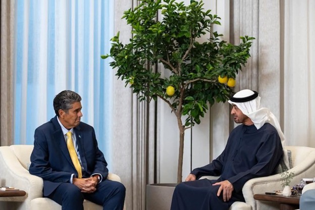
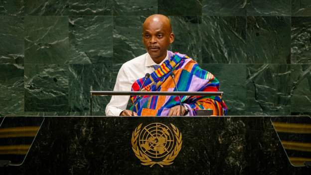
In a major address before the United Nations General Assembly, Togolese Foreign Minister Prof. Robert Dussey called on member states to move “from resolution to action” on the newly adopted UN resolution on cartographic representation, proposing a new phase of international cooperation to rectify centuries of geographical distortion. As reported by République Togolaise, Prof. Dussey, speaking on behalf of President of the Council Faure Gnassingbé, addressed the general debate of the 81st session in New York on Friday 25 September, weeks after the resolution was adopted on 4 September by 164 votes in favour. Building on the initiative Togo first raised a year earlier, the resolution challenges traditional projections such as the Mercator model, which distorts the relative size of Africa and the Global South. Emphasizing the stakes of cartographic accuracy, Minister Dussey said, in the French original, that correcting the map is not only about rectifying a geographical distortion but about correcting the perceptions it fosters, adding that every time an error of the past is corrected, humanity gains in lucidity, justice, balance and progress.
The Togolese proposal calls on member states, UNESCO, cartographers, historians, educators, young people and artificial intelligence developers to work together on putting more faithful projections into public life. According to the Togolese Embassy in France, the resolution itself, A/80/L.104, adopted with 164 votes for, one against and six abstentions, encourages projections that better reflect the true size of continents in education, cartography, the media and digital tools. As République Togolaise also reports, states are invited to integrate such projections into pedagogical and digital tools, international organisations including UNESCO and UNDP are asked to set fairer geospatial standards, and technology companies are encouraged to engage with states so that more accurate representations reach their systems. In practice, the initiative aims to challenge Eurocentric bias in visual education and give future generations a more balanced picture of continental landmasses.
Togo’s diplomatic push at the UN forms part of a broader movement across Africa to challenge lingering colonial legacies in global governance, media and knowledge production. In the same address, Dussey reaffirmed Togo’s commitment to dialogue and mediation in West Africa, the Sahel and the Great Lakes region, saying that Africa does not ask others to act in its place but that its own efforts be recognised and supported. Because the resolution is not legally binding, as Bamada notes, citing APA, its impact will depend on states, educators and technology firms choosing to adopt the recommended projections. By turning a symbolic UN resolution into a cooperative technical programme, Togo is positioning cartographic accuracy not merely as an academic exercise, but as an instrument of historical reparation, scientific integrity and equitable international development.
PHOTO SOURCE: RÉPUBLIQUE TOGOLAISE
Author: Randy Lawson.